
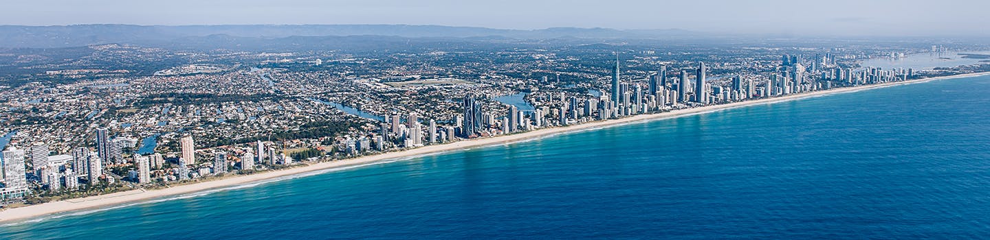
City Plan Version 6

City Plan Version 6 commenced yesterday and incorporates Major Update 1 & 1B and Minor and Administrative Update 5.
The new version includes updated Flood overlay mapping, revisions to improve development outcomes for housing on lots less than 400m2 (small lot houses) and refinements to the residential density provisions and subdivision requirements within the Low density residential zone.
Below is a full summary of the changes.
| Item | Summary |
| Small lot housing review | Updated various parts of City Plan to improve development outcomes for housing on lots less than 400m2 (small lot houses). |
| Party house land use controls | Integrates party house land use controls, Temporary Local Planning Instrument (TLPI) No. 4 (party houses) 2018, into the City Plan. |
| Flood overlay | Updates to flood overlay mapping to reflect up-to-date data and State Government criteria, with consequential changes to the flood code. |
| Burleigh Heads Village character | New provisions to reinforce the unique character and values of the Burleigh Heads Village in line with community aspirations and values. |
| Tugun Village character | New provisions to reinforce the unique character and values of the Tugun Village in line with community aspirations and values. |
| Transport definitions | New administrative definitions to assist in the interpretation of the transport code. |
| Gold Coast Cultural Precinct | Changes to align City Plan with the endorsed 2014 Gold Coast Cultural Precinct Masterplan Design Report. |
| Building over or near City infrastructure | Inclusion of provisions which ensure development is located and designed to protect City infrastructure. |
| Social, community and public supporting uses | Reduced levels of assessment for social, community and public supportive land uses on public land within certain zones. |
| Setbacks in medium and high density residential zones | Amendments to the medium and high density residential zone codes to allow a minimum 6 metre front setback for covered car parking. |
| Remove reference to Wave Break Island for the Integrated Resort Development at the Broadwater | Updates to the Strategic framework to remove reference to Wave Break Island being investigated for an Integrated Resort Development or cruise ship terminal. |
| Hours of operation for accepted commercial uses in district centres | Update to apply a closing time of midnight for accepted commercial land uses in district centres. |
| Categories of development and assessment certain subdivisions | Updates to include certain lease, access easement, community title and volumetric subdivisions as code assessable development in the medium density and high density residential zones. |
| Emerging community zone setback / site cover provisions | Updates to residential setback and site cover provisions for lots that have been subdivided. |
| Categories of development and assessment for Utility installations affected by overlays | Updates to reduce level of assessment for City delivered utility installations. |
| The Biggera Waters Centre and Surrounding Land Study | Change to the designation of Biggera Waters to a specialist centre and updates to zoning, height and density of the surrounding lands. |
| Alignment of density and lot size in the low density residential zone | Refinements to the residential density provisions and subdivision requirements within the low density residential zone. |
