
FAQs
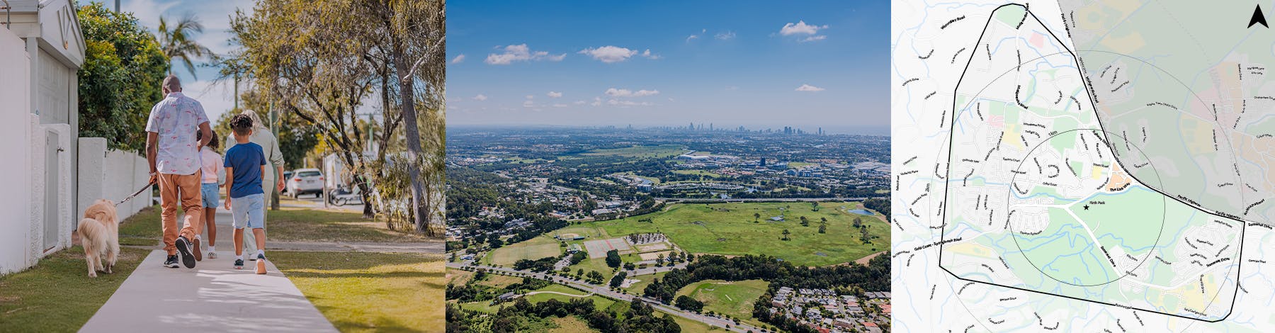
What is a Walking Network Plan?
A Walking Network Plan is a localised planning study that aims to improve neighbourhood walking environments by identifying routes that connect key destinations, such as businesses and shopping centres, public transport, schools, recreational areas. Walking Network Plans aim to make walking a more attractive and accessible option for the community, encouraging active transport, contributing to healthier lifestyles, and reducing vehicle network use.
How will this Walking Network Plan improve walking and riding paths in Mudgeeraba?
As part of the Mudgeeraba Walking Network Plan study, network gaps and opportunities will be identified across key locations. The study will look at where new or upgraded paths and crossing facilities may be needed, and how existing routes can be made more comfortable and enjoyable. By responding to community feedback, the plan will help improve access to parks, trails, local businesses, and community facilities, supporting healthier, more active lifestyles.
How will my feedback influence the Walking Network Plan?
Your feedback is vital. By sharing your on‑the‑ground experiences such as where footpaths are missing, crossings feel unsafe, or vehicle speeds are too high, you help the City better understand what matters most to local residents, school communities, and visitors. Your input will directly inform the priorities and recommended actions of the Mudgeeraba Walking Network Plan Study, ensuring future improvements reflect real community needs.
How do I use the interactive map?
After completing the survey, you can provide location‑based feedback on the interactive map by using your mouse to drop a pin on the spots you want to comment on – such as unsafe crossings, missing footpaths, high‑speed areas, or places that need improvements – and leave a short note explaining the issue. This helps the City identify exactly where those using the path network feel improvements are needed.
How can I have my say on the Walking Network Plan?
Take the survey and provide ideas on the interactive map before 5 March 2026. Your input will help identify local priorities and support the planning of a safer, more connected walking network in Mudgeeraba.
When and where can I see the final Walking Network Plan?
The Mudgeeraba Walking Network Plan will be finalised after the consultation period is complete. A summary of community feedback and the final plan will be shared on GC Have Your Say when available.